Combining of LIDAR and digital photogrammetry methods
20-10-2011, 17:35. Разместил: admin
General:
The combination of such advanced methods allows to obtain data about object’s geometry and its true colors as well. It opens up great opportunities in detail fixation of architectural objects and works of art.
Components:
1) 3D laser scanner
2) Calibrated digital camera
3) ScanIMAGER Professional software
4) PhotoTransformator software, Universal or Professional versions
The main element of this technology is software. Scanner type and camera can vary and depend on exact task.
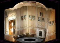
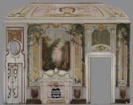
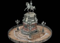
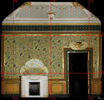
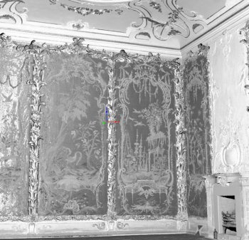
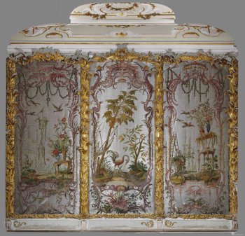
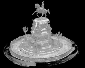
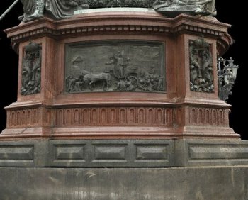
From left to right: 1. – Colored 3D point model of the interior in the Chinese Palace at the State-Preserve Museum “Oranienbaum”; 2 – Colored ortho-photo of the interior in the Chinese Palace at the State-Preserve “Oranienbaum”; 3 – Colored 3D point model of the Monument to Nikolay I
The object fixation work consists of several stages:
1. Ground-based LIDAR survey. The object is scanned by the 3D laser scanner with requested accuracy and resolution.
2. Photogrammetric survey. Images are taken parallel to scanning with the camera with requested resolution.
3. Scans registration. On this stage all scans are referenced in the united coordinate system in ScanIMAGER software. Thereby the 3D point model is created.
4. Distortion correction and image elements of orientation defining. These procedures are implemented in PhotoTransformator software. The distortion is eliminated according to results of camera calibration. Image elements of external orientation are defined by common points picked on the image and the 3D model (minimum 4 points for every image).
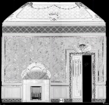
5. Creating of measurement and fixation materials. Beside the 3D model you can create ortho-photos (orthogonal projections on specified planes) and custom point cloud projections (CPs) (ScanIMAGER tools allow to create CPs of several convoluted surfaces).
6. Coloring of measurement and fixation materials by images. This operation is implemented rigorous mathematically. Every point of the model, ortho-photo, or CP is projected to the plane of this or that image according to known elements of orientation and thus the point takes true color. Radiometric correction is applied for editing of parts of ortho-photo or CP colored by different images.
Such colored ortho-photos and CPs become the value measurement and fixation materials, because they combine metric characteristics of a drawing and graphic characteristics of an image. This technology allows us to create such materials in any scale, including 1:1 scale, with requested accuracy and resolution that makes them unique in many cases.
Examples of 3D models and orthophotos
черно-белый ортофотоплан / цветной ортофотоплан интерьера
черно-белая трехмерная точечная модель / цветной ортофотоплан интерьера
черно-белая трехмерная точечная модель / фрагмент цветной трехмерной точечной модели
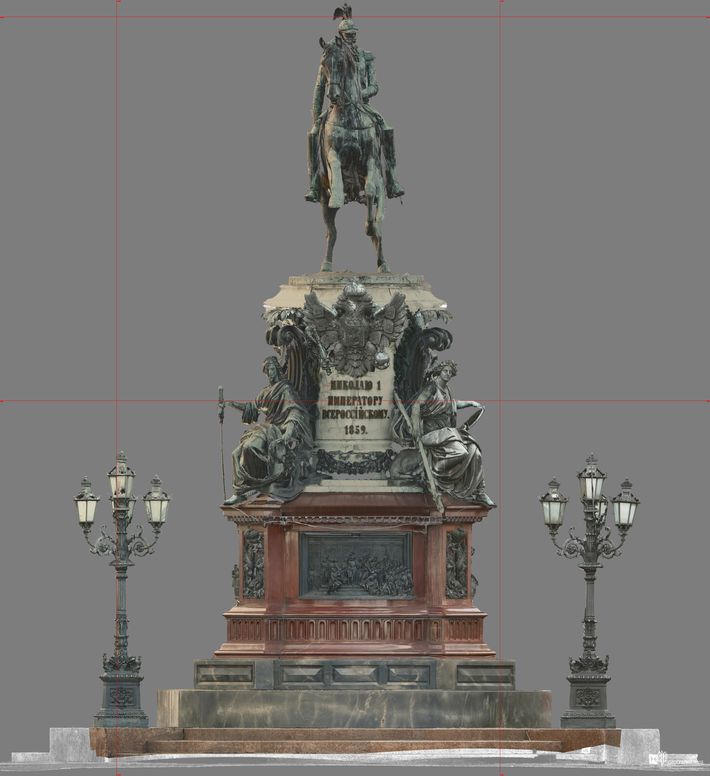
цветной ортофотоплан памятника Николаю I
Вернуться назад
