Architectural measurements
20-10-2011, 12:59. Разместил: admin
As a result we produce measurement drawings in the uniform coordinate and height system, in format .dwg.
Our specialists have rich 12-year experience gained in work with about one hundred objects.
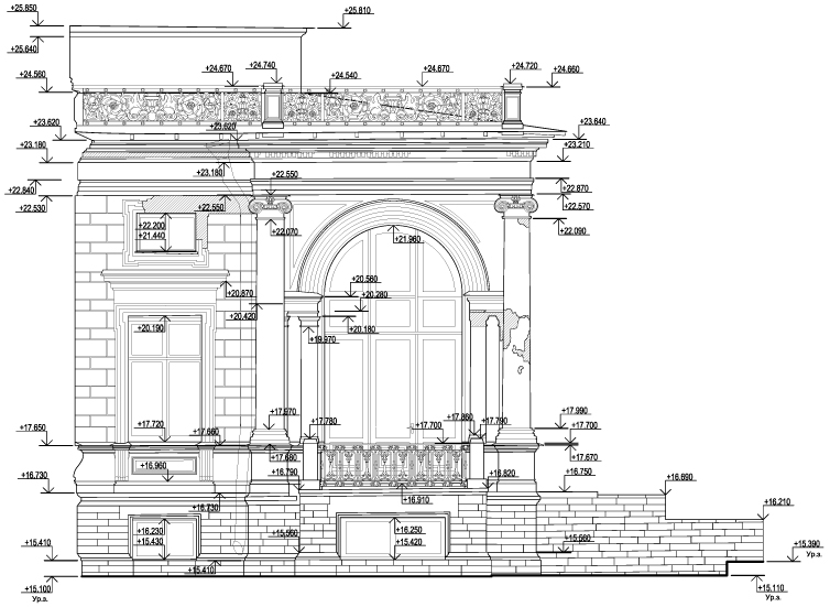
FACADES
(drawings of building facades)
For the purpose of facade measurements we use the original technology, developed in our company, which combine laser scanning and digital photogrammetry methods. The laser scanning is carried out using an laser scanner IMAGER, made by Zoller&Froehlich GMBh (Z+F) Company.
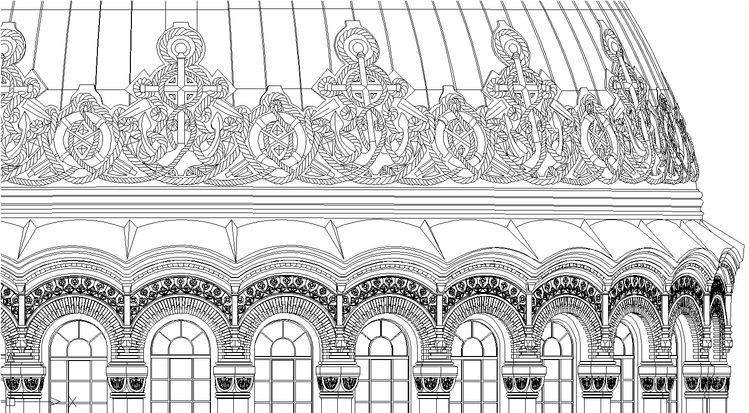
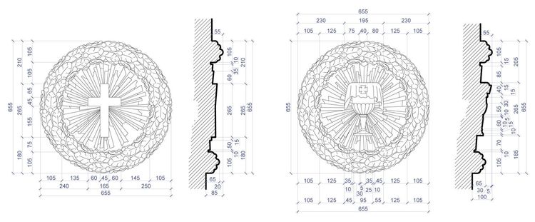
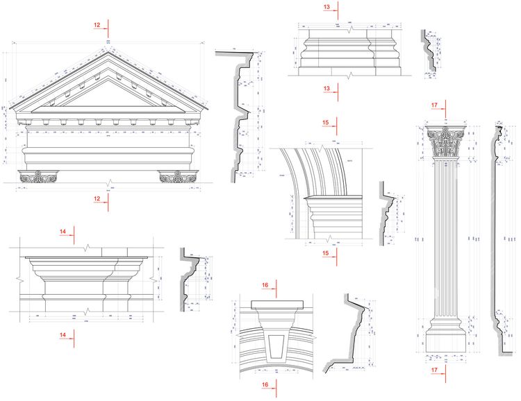
FACADE AND INTERIOR DETAILS
(drawings of architectural details)
The combination of methods of laser scanning and digital photogrammetry makes it possible to get measurement drawings of any scales, including full scaled stencil-plates.
PLANS AND SECTIONS
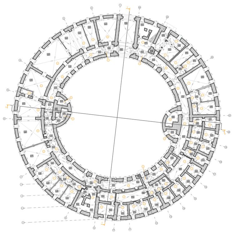
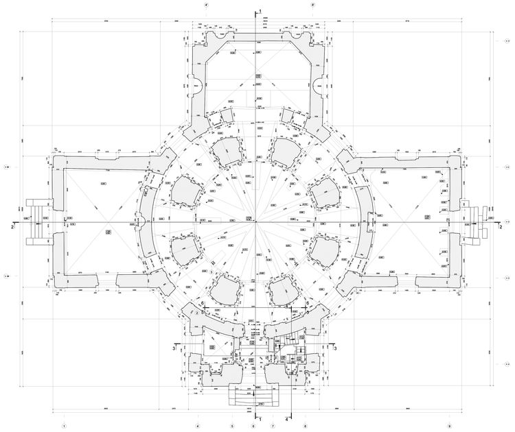
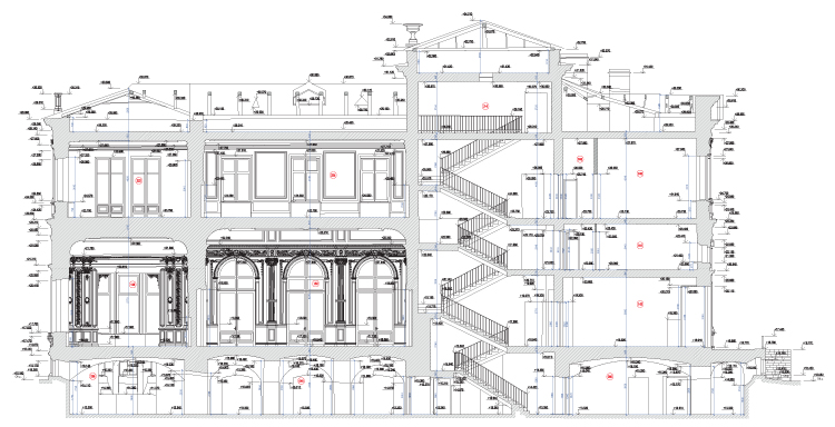
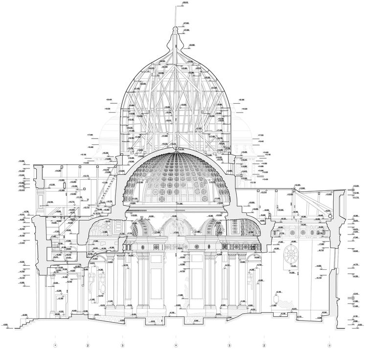
(drawings of plans and sections of buildings and structures)
Measurements of inner spaces of the buildings are implemented using both laser tachymetry and laser scanning methods. The results are the measurement drawings of plans and sections of the building, made in the uniform coordinate and height system. Usage of the latest measurement technologies guarantees high accuracy of relative position of contours within the whole object.
Modern technologies and high degree of professionalism are the guarantee of successful results. We are proud of respect and trust of the Committee for State Control, Use and Protection of Historical and Cultural Landmarks and the main Saint-Petersburg design and restoration companies.
Complete, reliable and accurate measurement documentation is one of the general assets in the process of architectural restoration.
New forms of measurement documentation, beside traditional ones such as measured drawings and photos, are available today:
• 3D point models as a result of ground-based LIDAR survey – the most precise and complete form of object’s geometry fixation.
Combining LIDAR survey with digital photogrammetry allows to create colored model, which represents both object’s geometry and characteristics of its color.
• Ortho-photo – orthogonal projection of an accurate 3D model of an object to a given plane. This form of fixation combines geometric features of the drawing and graphic features of the image.
Image accuracy and detail can be the highest, including scale 1:1 demands.
• Custom point cloud projections (CPs) that minimize distortions are used for fixation and measurement of convoluted surfaces. In contrast to the ortho-photo, where the orthogonal projection is always used, the type of the projection in CP depends on the surface form. The projection is selected individually for every exact case in order to project the surface with minimal errors.
----
Вернуться назад